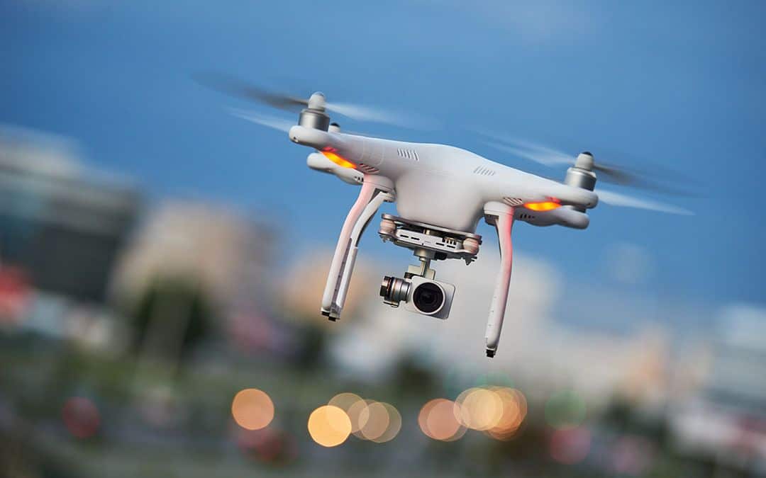
Just a decade ago, it was a novel experience to see a drone flying above you at a concert or hobbyists practicing their flight skills in the park. Today, the unmanned aerial vehicles (UAVs) are becoming an increasingly common sight. Not only are they used quite often for entertainment and spectacle—such as at an air show or fireworks display—they’re also quickly becoming valuable tools on the job.
Drones create exciting possibilities for data collection
It’s not surprising that drones have surged in popularity in many industries. They are essentially little flying sensor modules that can soar high across areas inaccessible to humans. Drones can serve as the operator’s eyes (or even ears) and gather an immense amount of data that can improve the operator’s ability to perform their job. In addition to high-resolution cameras, drones can be equipped with a number of sensors, such as thermal or infrared imagers, GPS, Geographic Information Systems (GIS), microphones, motion detectors and devices that measure barometric pressure, air temperature, humidity, altitude and more.
Here are some of the ways industries are using drones to gather data today:
-
-
- Farming/agriculture – check on crop conditions, locate missing livestock, identify/diagnose irrigation or other equipment breakdowns
- Film/sports/entertainment – capture footage of live events, get aerial shots less expensively than using a helicopter
- News reporting – capture real-time footage of important events, monitor areas for safety, obtain images of remote events that are hard to reach
- Disaster relief/first responders – gain real-time situational awareness at a disaster sites, observe forest fires and assess size and direction, find survivors during floods, assess building damage after earthquakes
- Real estate/property management – take aerial photographs for sales listings, do reconnaissance at property sites, assess building damage in hard-to-reach areas
- Conservation/research – observe plants or animals in natural locations without disturbing them, detect structures in areas with overgrown vegetation
- Energy, oil, and gas – monitor remote pipelines, identify damage or potential malfunctions, detect vegetation growing on power lines, detect rust or other damage on equipment
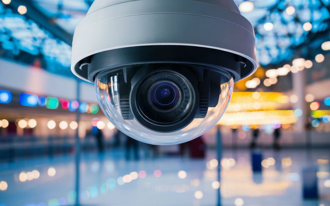
- Law enforcement/security – quickly survey large crowds for signs of trouble, keep criminals in view during pursuit, monitor miles of remote highways for speeders, oversee high-value locations such as nuclear plants, monitor building entry/exit points and perimeters
- Construction – utilize thermal imaging to detect any leaks in buildings, monitor equipment and vehicles at building sites, create to-scale maps or land surveys, ensure on-site safety compliance
- Logistics/warehousing – monitor inventory in large warehouses, remotely oversee staff
- Insurance – remotely verify property or equipment damage
-
Collected data needs to be stored
As drones gather information through their sensors, that data needs to be stored somewhere. That means a drone must have some sort of data storage device or capability. The most common storage methods on the drone itself are removable microSD cards and SSDs. SD cards are less expensive but they don’t offer the high capacity that an SSD can. Additionally, SSDs offer higher performance, which means data transfers can be faster and more efficient.
Even if they have an on-board storage device, many drones are also connected to the internet. This can allow operators to download captured data to the cloud in real time, even while the drone is still in the air.
More drones are also being equipped with edge computing capabilities, which means that some of the captured data can be processed in the moment right from the drone, without having to be sent to a different location. For instance, edge computing could enable a drone to capture video surveillance footage and then process and analyze the footage to immediately detect suspicious behavior at a remote building site. That information could then be sent to an administrator to take action. Without edge computing, the drone would simply capture footage of the remote building and send it to a central location for processing, and only then would the system or a human operator detect the suspicious actions. In cases like these, minutes are crucial, and edge computing enables faster alerting.
Because drones are often used to fly in areas where humans can’t access—say a drone is gathering data during a wildfire or flood, or is assessing conditions at the top of a skyscraper—the drones and their data storage solutions must be hardy and robust. They need to be able to withstand extreme temperatures, moisture, wind, vibrations, rough surroundings and air contaminants such as smoke or chemicals. That can be a tall order for some data storage solutions but losing valuable data because of a storm or dust could make a tough situation even tougher.
Phison SSDs stand up to the most intense environments
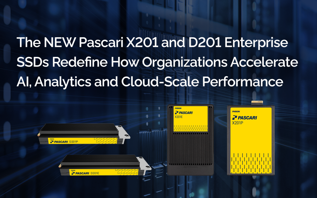
Phison’s SSDs and other NAND flash storage solutions are great options for drone data storage. They offer high capacity to store large volumes of high-resolution video and other information. Additionally, they exhibit low latency and high throughput, guaranteeing reliable and consistent performance to safeguard your valuable data.
For instance, Phison pSLC SSDs have been utilized in on-board drone cameras to capture ultra-high-resolution video footage. Formatting the drive for pSLC use allows users to store up to 25 hours of 4K video or about 80 minutes of 8K video (depending on the camera used, as well as codecs and bitrates). These drives deliver high-speed, durable, low-latency, energy-efficient and consistent storage for a variety of drone applications. They come in a compact M.2 2280 form factor and weigh only 10 grams so they fit well inside many drone models.
The company also offers a range of industrial-grade SSDs that are designed to withstand extreme weather, temperatures, vibrations, air contamination and more.
